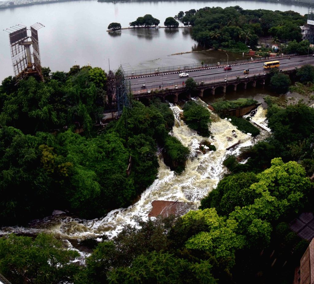
IMD Warns of Heavy Rainfall and Flood Threat
Hyderabad, August 12, 2025 – Hyderabad is bracing for a spell of intense rainfall and potential flooding, as the India Meteorological Department (IMD) has issued an urgent alert for heavy to extremely heavy rainfall from the midnight of August 12 until the midnight of August 15.
The earlier forecast for August 14–17 has been advanced by two days, signalling the need for immediate preparedness across the Greater Hyderabad Municipal Corporation (GHMC) area and neighbouring districts of Rangareddy, Medchal-Malkajgiri, Sangareddy, and Vikarabad.

Day-Wise Weather Outlook
- August 12 – Light showers through the day will give way to moderate to heavy rainfall from evening to early morning. Skies will remain overcast, with cooler conditions and rainfall in the range of 25–55 mm.
- August 13 – Widespread moderate to heavy rain is expected from afternoon to late night, interspersed with light showers. Rainfall may reach 40–65 mm, raising concerns of waterlogging in low-lying colonies.
- August 14 – The city is likely to see heavy to very heavy rainfall, with some locations recording 70–120 mm in 24 hours. Urban flooding risks will be at their peak.
- August 15 – West Hyderabad areas, including Patancheru, Serilingampally, and Rajendranagar, are forecast to receive heavy rains, while other parts may see light to moderate showers.
- August 16 – Conditions may ease slightly, with only light to moderate rainfall expected.

Flood Threat Along Musi River
The IMD has also sounded a severe flood warning for parts of Sangareddy and Vikarabad districts, especially in the upper Musi River catchment. Very heavy to extremely heavy rainfall between August 13–15 could trigger significant inflows into the river, posing a danger to settlements along its course.

Hussain Sagar Water Levels Rising
As of 6:00 AM on August 12, Hussain Sagar’s water level stood at +513.48 meters, just above its Full Tank Level (FTL) of +513.41 meters and nearing the Maximum Water Level (MWL) of +514.75 meters. Inflows have been measured at 1,072 cusecs, while outflows stand at 969 cusecs. Officials are closely watching the reservoir to prevent overflow, which could worsen flooding in adjoining areas.
Public Safety Advisory
Authorities have urged citizens to:
- Avoid travel during peak rainfall hours
- Stay away from waterlogged roads and open drains
- Follow official weather bulletins from the IMD and GHMC
- Be prepared to move to safer locations if flood alerts are issued
Emergency response teams are on standby, and district administrations have been instructed to take all precautionary measures.
⚠ Public Alert: The next 72 hours are crucial. Stay indoors where possible, keep emergency numbers handy, and do not attempt to cross flooded roads or bridges.


